Complete Streets of Victoria - The New Vancouver Street
We are getting used to massive changes in the make-up of our streets in Victoria. I know that many people find it disconcerting and I too have had my reservations about some of the changes, but for the most part, the ones that make up the protected bike routes have been a success. Again, I know that many will say at whose expense and that is fair, change is difficult. To be clear, I don’t think that the bike routes are perfect and I have written about some of their failings here. Overall though, the street experience on the routes with the bike lanes is better than it was before and I don’t just mean for cyclists.
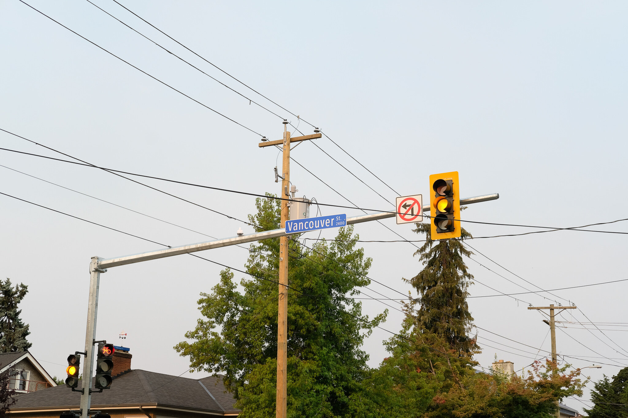
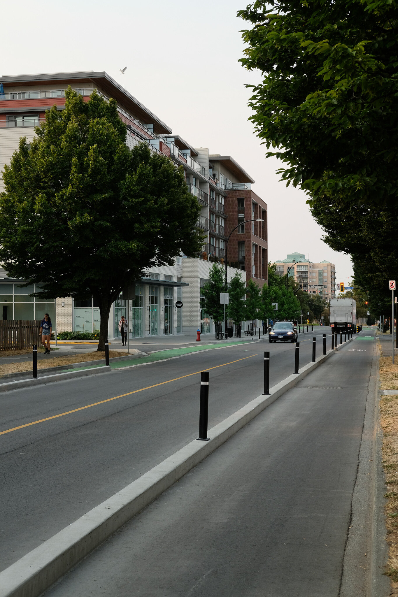
The most recent project to be completed is Vancouver Street from Bay in the north to Beacon Hill Park in the south. This new route connects all of the other ones created to date: Pandora, Fort and Humboldt / Wharf. This new route goes right past Mason Street, on which I wrote my last complete streets article. I walk, bike and drive and will look at the road from these three perspectives though not in that order.
As a Bike Route
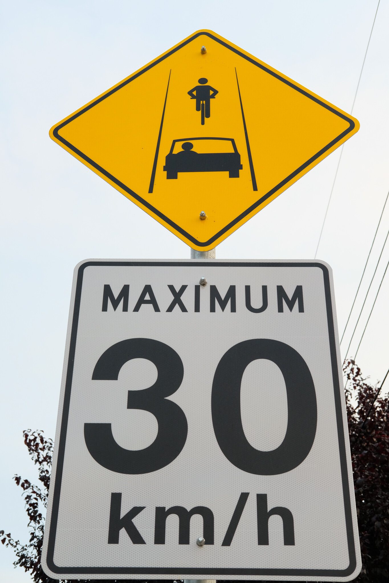
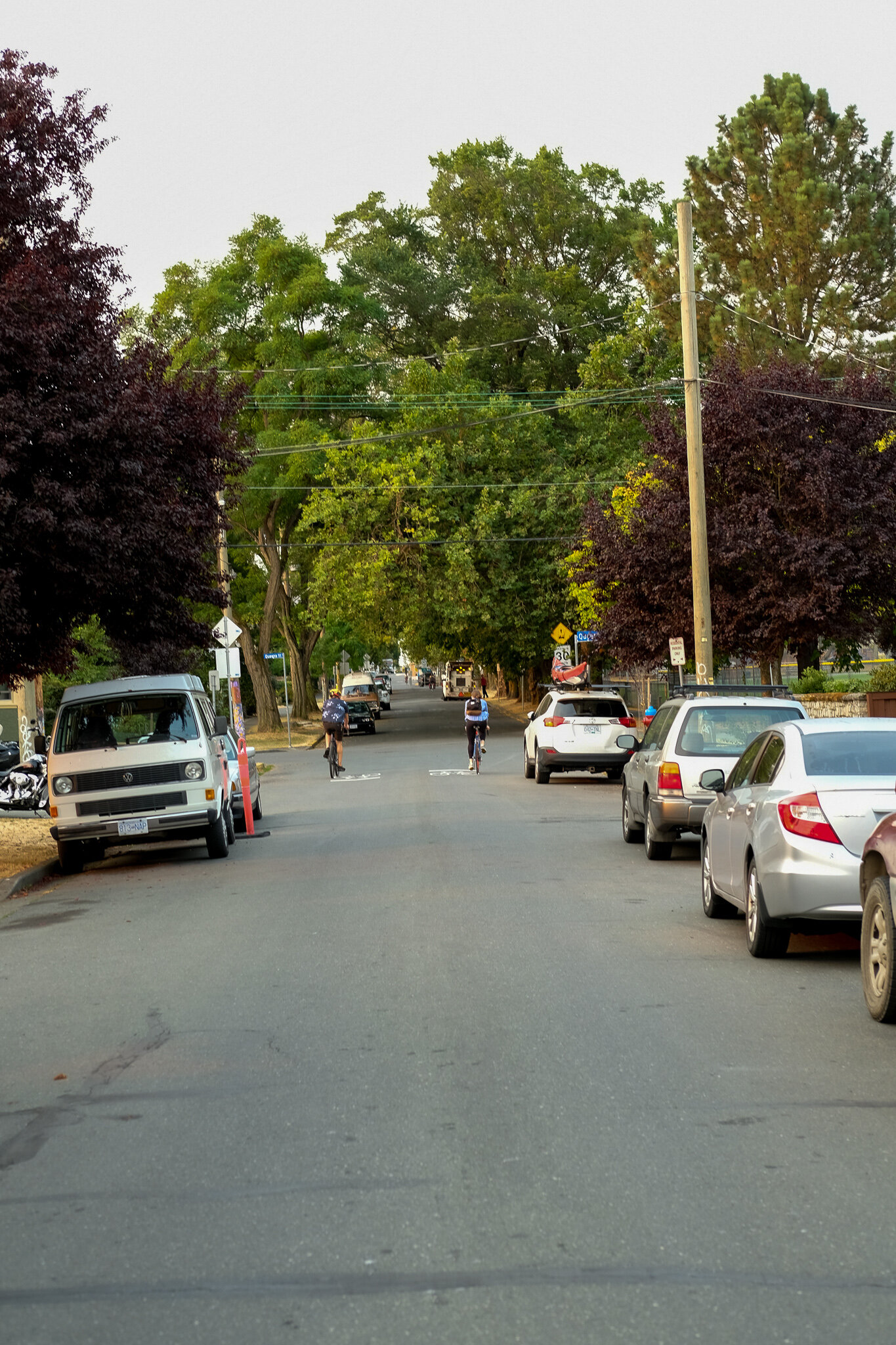
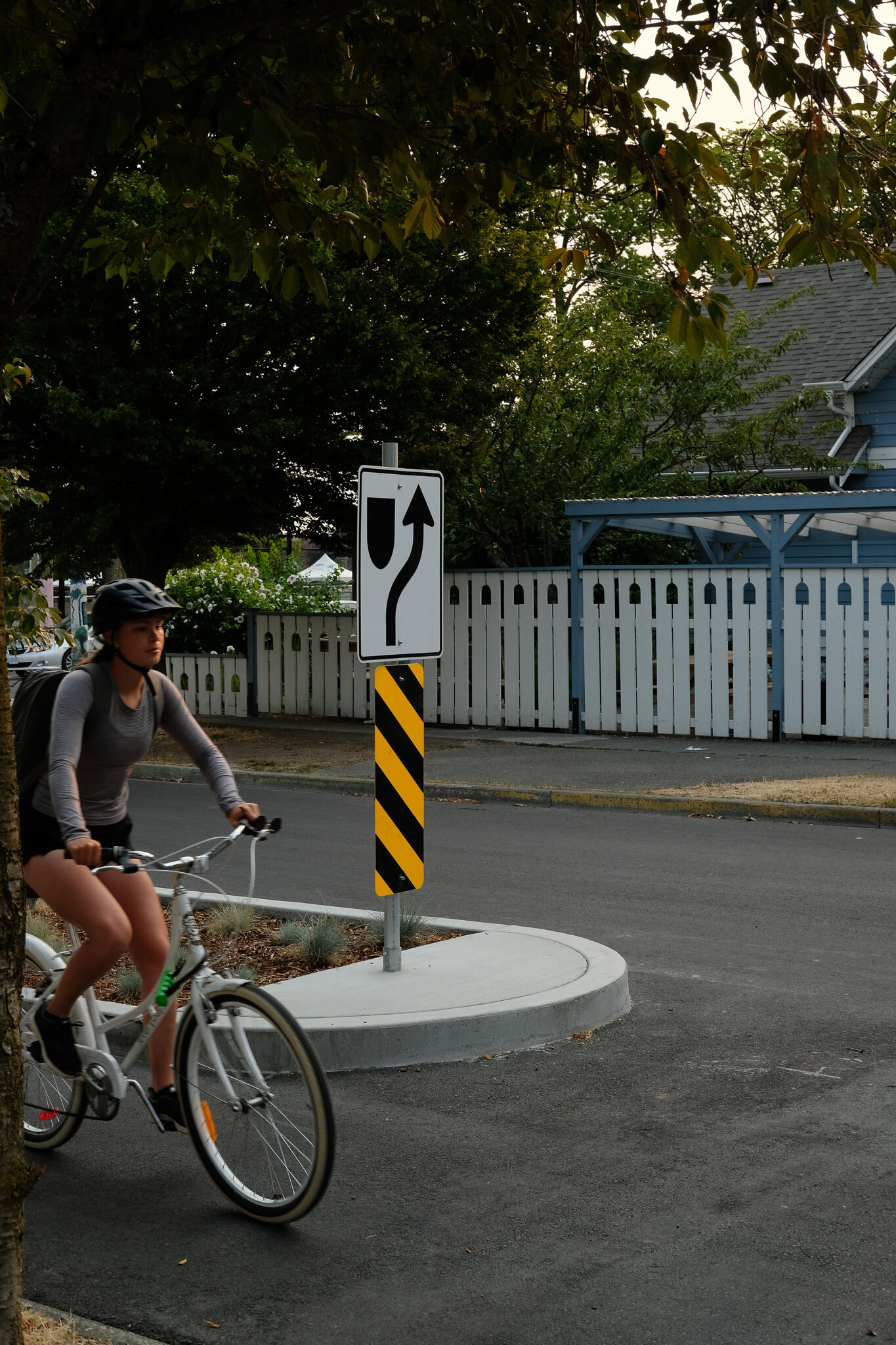
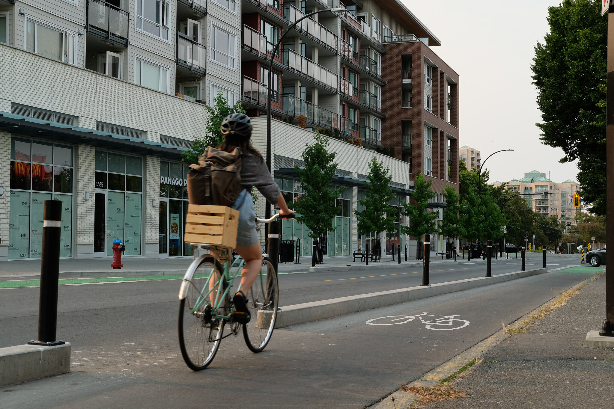
I am going to admit that the bike aspect of Vancouver Street has had a pretty dramatic impact on my life and that may have made me a little biased when it comes to looking at it as a bike route. Before its completion, I have often biked around the city and used the bike lanes downtown, but I have not ever taken my kids on them and certainly we haven’t gone as a whole family anywhere near downtown. Since its completion though, since I live relatively close to the beginning of it at Bay and Vancouver, we as a family have biked along it multiple times. It does exactly what it is supposed to as an “All Ages and Abilities” bike route, lets anyone including children be able to bike around the city. Adding this aspect to our family life this year especially when there were still more limitations on things we could do, was huge and certainly sold me on the bike lanes.

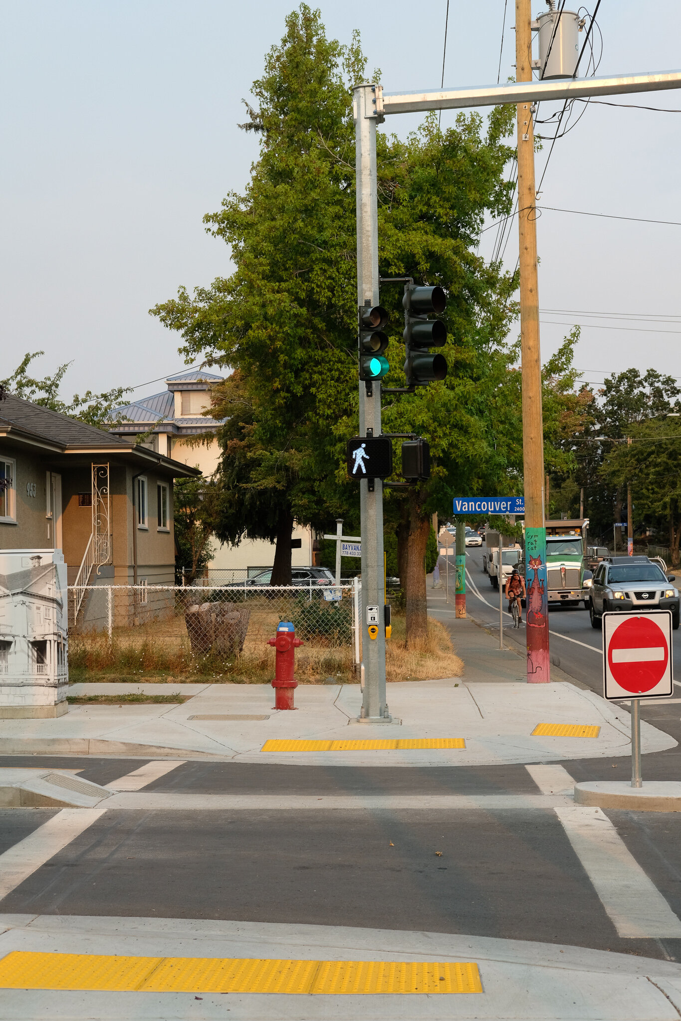
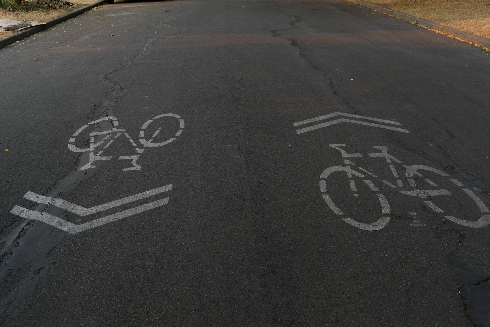
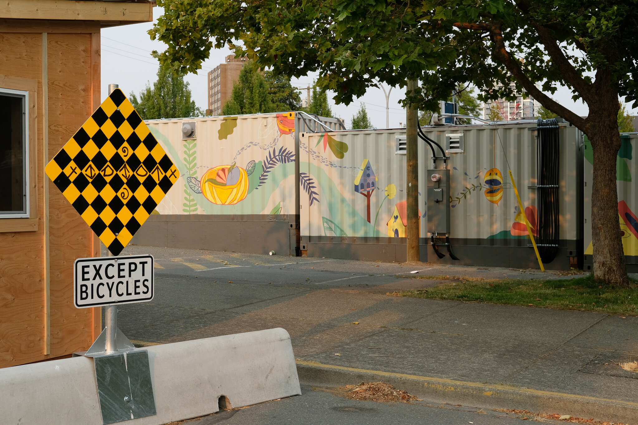
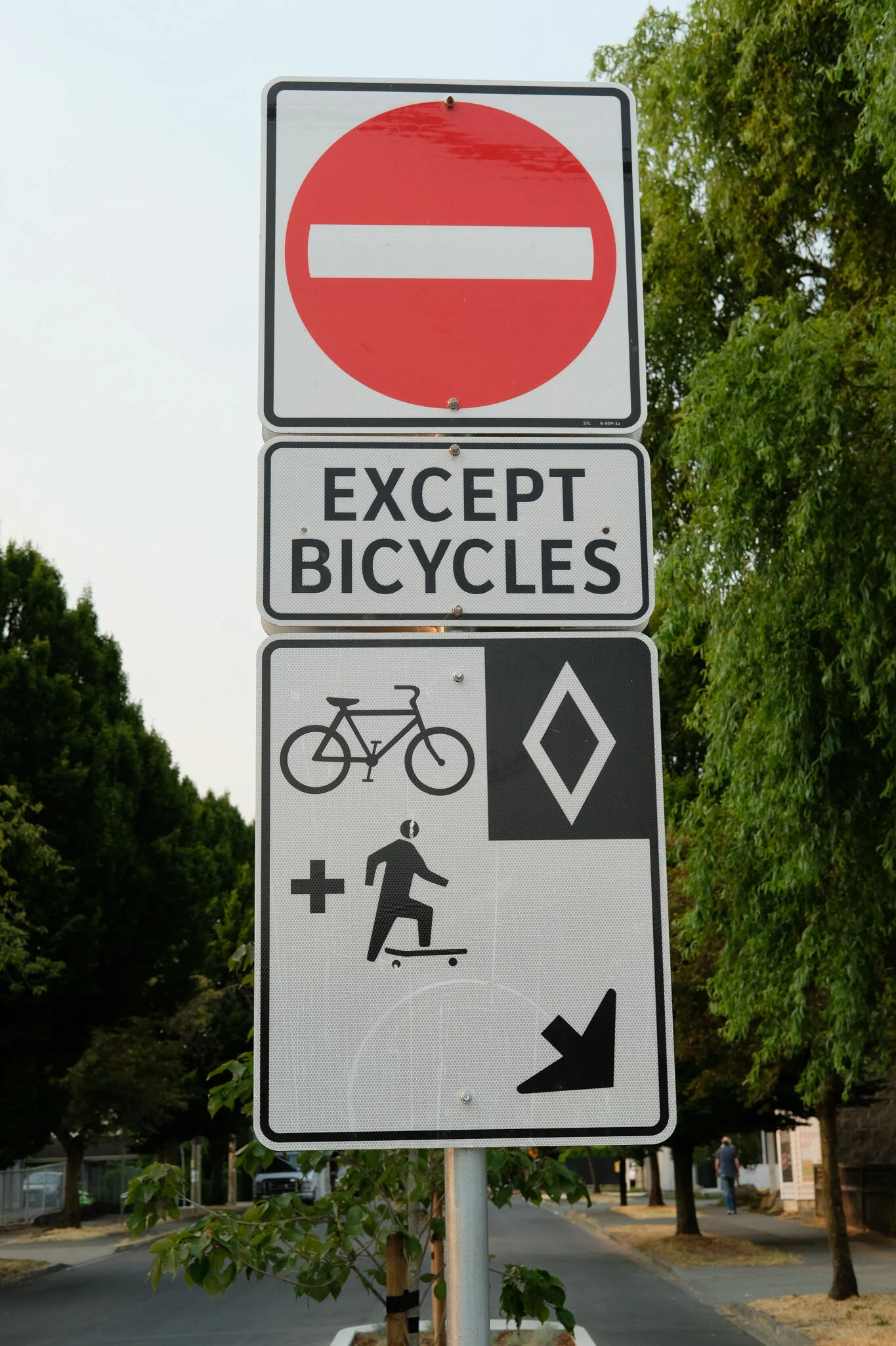
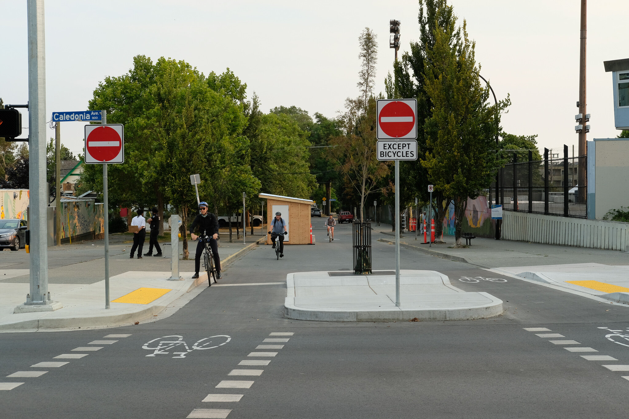
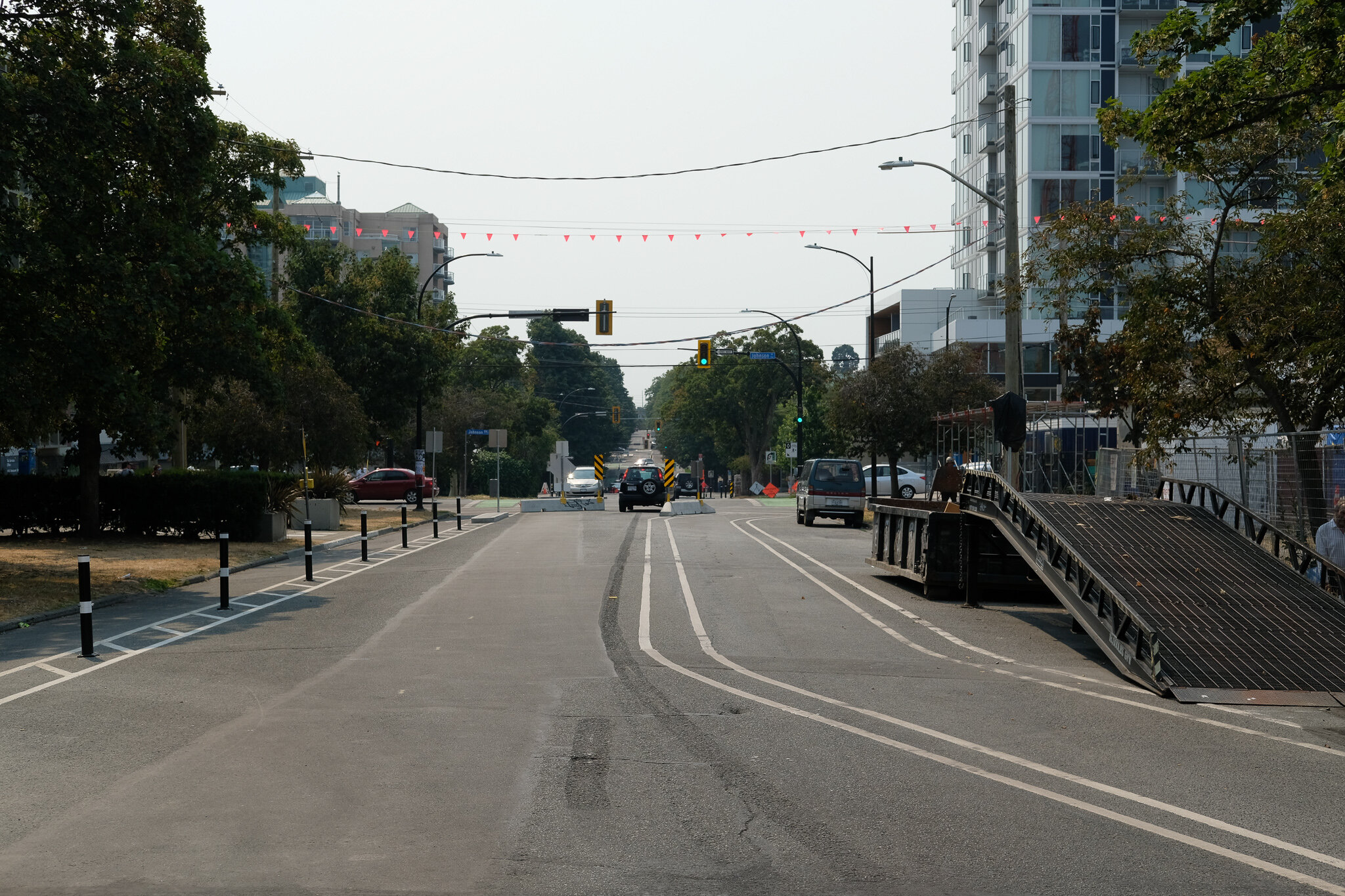
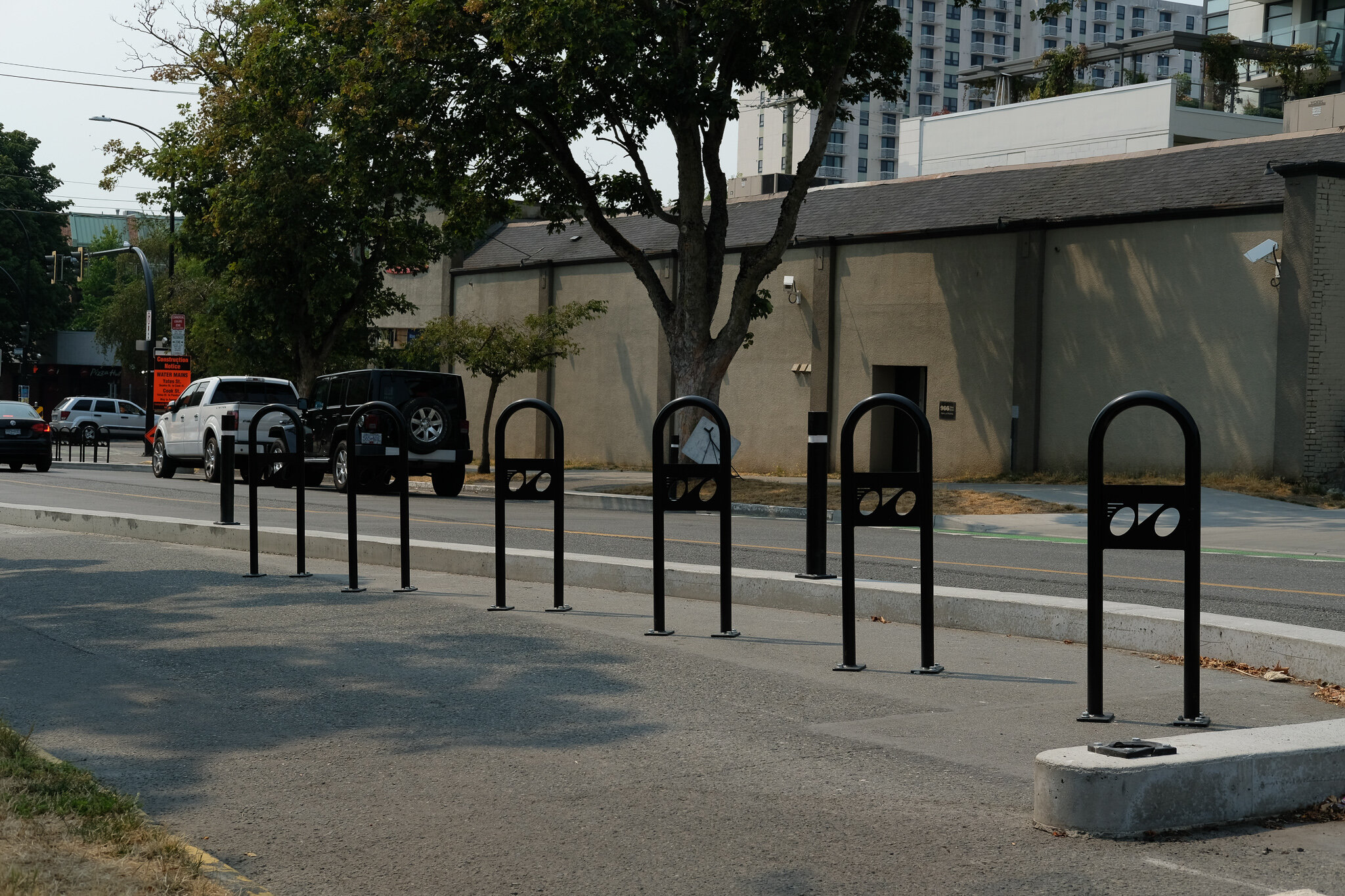
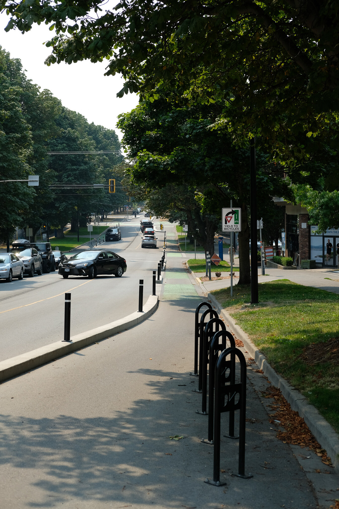
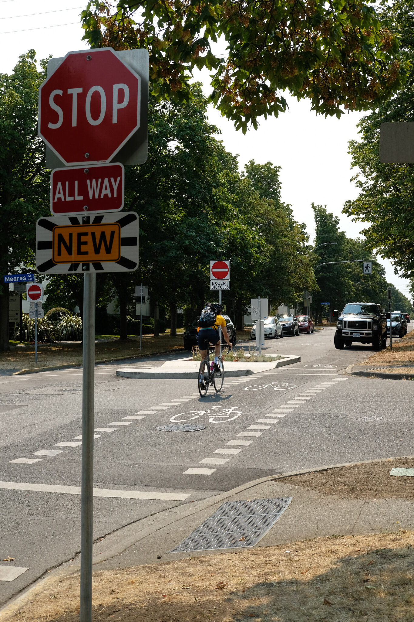
For those that haven’t been on Vancouver since it was finished, it is mostly a shared road with cars but due to some clever closures that limit through traffic while keeping it open to local traffic, there are hardly any cars driving on the shared portion. Through the downtown portion between Balmoral and Fort Street, there are protected bike lanes before returning to a shared roadway to the south, again with access closures to limit through traffic. I can’t say enough about what a great route this is to bike and I am not alone in having noticed, I walk along Vancouver almost every day as well, and the amount of cyclists is really impressive. This will only continue to grow in my opinion as it is such a good north/south connector. It also makes me so very happy that the route hadn’t gone in on Cook Street where there still would be cars along the route. Vancouver as it is now feels like it is almost devoid of cars which gets me to my next mode.


As a Roadway for Cars
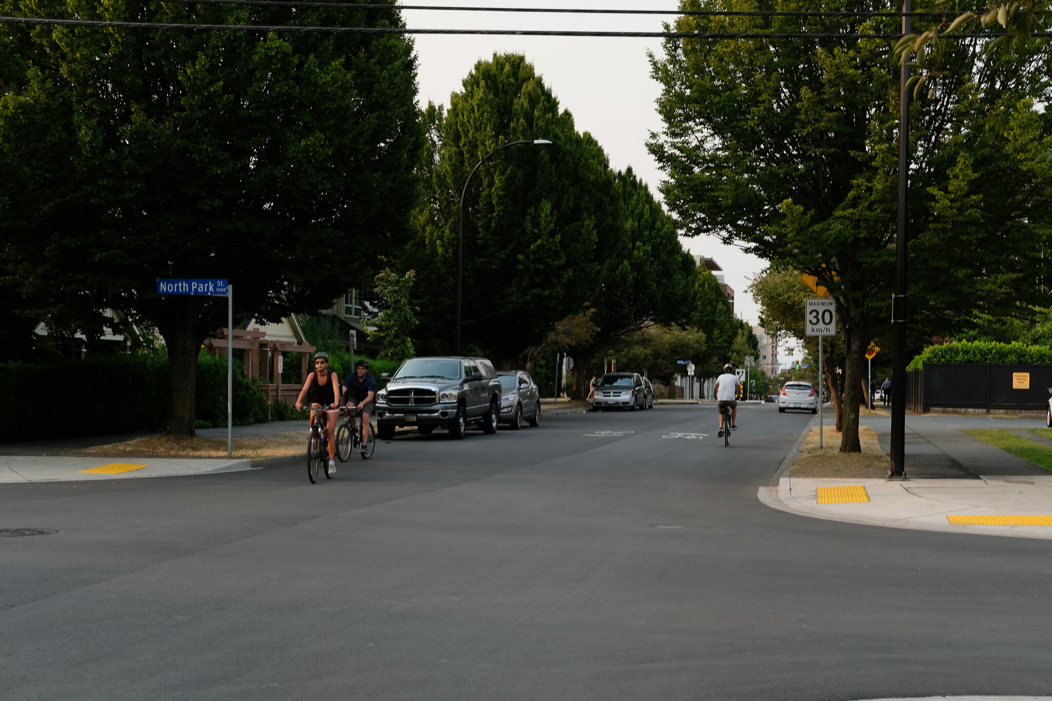
Vancouver Street as a whole was never perfect for cars if you wanted to use it as a thoroughfare. The blocks around Royal Athletic Park have been limited access for as long as I have lived here. That said, between Caledonia and Beacon Hill Park while certainly a slower street than either Quadra or Cook, it was an alternative north/south for people to use and it did get a fair amount of use, even by me. Since the new Save-On-Foods opened at Vancouver and Pandora, this has been my go-to grocery store and for big shops I definitely drive and park underground here. Up till the street changes, I would use Vancouver for most of this access, but have since changed that.
So what is it like to drive on now? Well it is limiting and that is purposeful. You use it for a block or two and then either go east or west to Cook or Quadra. You also feel the need to drive much slower. I can imagine that for those places that have a business off of Vancouver that rely on car customers that this was not totally welcome but there are a myriad of alternate access points and it just requires a little rewiring of the Victorian brain. I will say that traffic through North Park Village has increased though it has always been pretty busy, that is just based on my lay observations, Quadra seems the same though.
For those that live on Vancouver Street with a car I would imagine that for some the change has been good. While there may be a need to change how you leave the neighbourhood, it has meant a quieter street and a quieter house.
As a Pedestrian Route
I did purposefully save the best for last and I don’t mean that entirely from a positive perspective, instead that I have some thoughts... Is Vancouver Street a nicer place to walk now? For sure. Did the City of Victoria think about the pedestrian realm in their development of the plan? A little. Should they have done more if they were serious about taking a “complete streets” approach? Definitely.
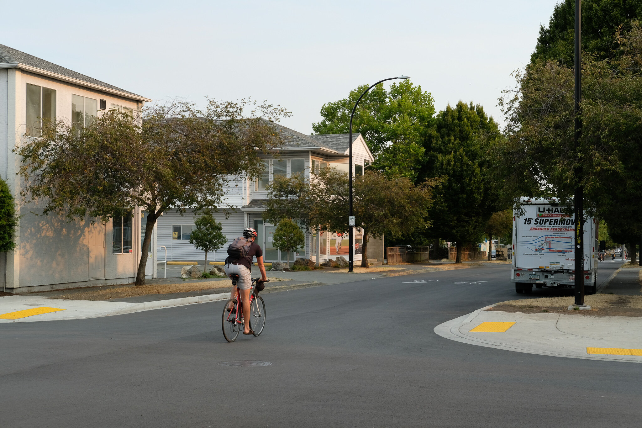
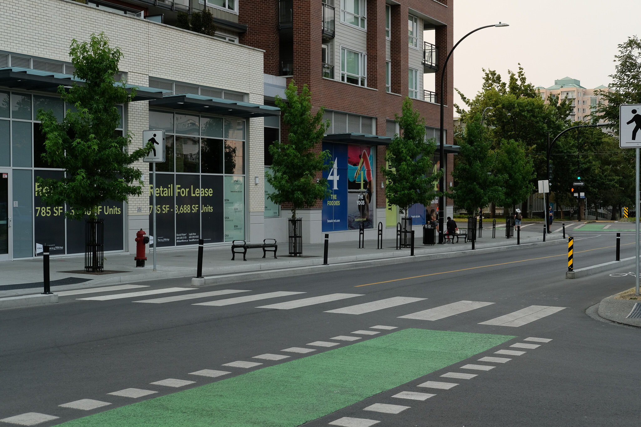
I walk to and from my work downtown and have always done so. For the last year I have done it pushing my son in his stroller to his daycare near my work. While we do change up our routes sometimes, with the changes along Vancouver Street, that is now my preferred route because it is so relaxing. The best part is that it is so quiet without cars on it. There was not a huge volume of traffic before at least not north of Caledonia but now even the part down to Pandora is mostly quiet. It feels safe and welcoming. That said the benefits created for the pedestrian here were truly a by-product of making this a bike route. Apart from some improved curb cuts in some locations for the most part the sidewalk is the same as it was before and that is unfortunate. As I pointed out in my article on Wharf Street while the bike lanes are great, it seems almost as if the City goes out of the way to ignore improvements for pedestrians.
Going back to the idea of complete streets, one of the core ideas is to take advantage of layering benefits. If you are already doing an infrastructure project along a street, take a look at it and see where additional work can be done to compliment it. A start should have been at least in some places to replace the sidewalks, but this wasn’t done.
What I would really like to see on Vancouver, and maybe this can be a long term plan, is to make it into a true bicycle and pedestrian promenade. Put in wide 3-5 metre sidewalks in at least from Bay to Fort put in proper street lamps that hang over the sidewalk rather than just the road and maybe through the portion between Caledonia and Meares some rezoning to allow for a significant increase in commercial space. Imagine a beautiful slow street with some patio bars in the heart of North Park and Harris Green where you can cycle up and lock your bike and then walk around to a few places under some beautiful street lighting. This may seem far-fetched but that should be how far the vision went for a real complete streets approach.
While I wait for my little urban utopia I will continue to enjoy the much improved, if not perfect Vancouver Street with the increasing number of cyclists on it each day.
I would love to hear your thoughts on the new route, what makes it great or drives you crazy! Let me know in the comments!
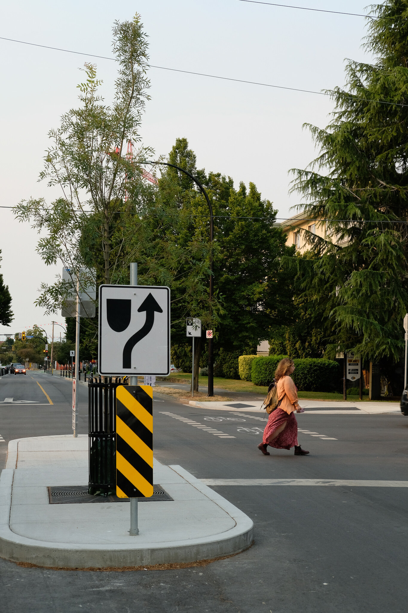
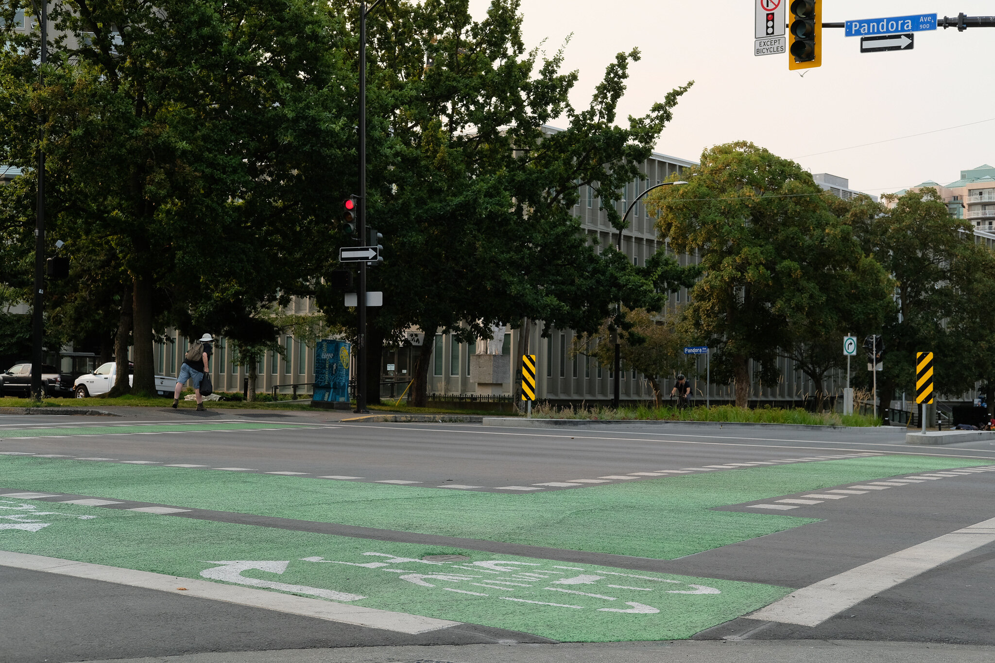
A couple of side notes for the City if they read this: The traffic island at Vancouver and Pembroke that is a left over from before has got to go. It is completely in the way of southbound cyclists and just looks like you gave up. When you remove it, a zebra crossing should be put in for pedestrians. There is often confusion here for cyclists and cars when people are crossing the street. Also the signage for how to use the Vancouver and Bay intersection is confusing for inexperienced cyclists and I see people stopping and switching lanes every time I go through it.